beta
|
|||||||
|
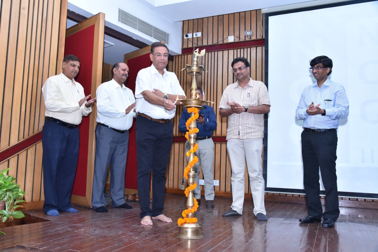
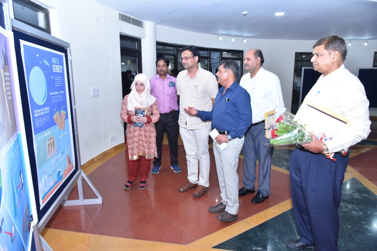
Geodesy finds application in civil engineering, exploration, mapping, and forms the basis of all geo-information systems The new one-year D-IIT program in Geodesy will be offered by the Department of Civil Engineering and National Centre for Geodesy, IIT Kanpur December 21, 2020, Kanpur: Indian Institute of Technology Kanpur (IIT-K) today announced the launch of a new program- Diploma of IIT (D-IIT) in Geodesy, the science of measuring the Earth. The D-IIT program, approved by the Board of Governors, IIT-K at its board meeting held on December 7, 2020, will be offered by the Department of Civil Engineering in three broad areas: Geodesy, Navigation & Mapping, and Remote Sensing & geographic information system (GIS). The science of Geodesy has applications in monitoring earthquake, volcanic, landslide, and weather hazard recognition and response; soil health, water resources, and drought surveillance; climate change including monitoring the polar ice cover; oil spill clean-ups; GPS timing and autonomous vehicle development.
With the support from the Department of Science and Technology, Government of India, IIT-K has recently established the National Centre for Geodesy (NCG) with Prof. Onkar Dikshit, from the Department of Civil Engineering as its Coordinator and supported with the vast experience of Maj. Gen. (Dr.) B. Nagarajan (Chairman, National Geodesy Programme) and the expertise of Prof. Balaji Devaraju. The NCG is the first of its kind in the country to support education and research activities in the field of Geodesy.
The program will add a new dimension to the Geoinformatics courses offered by the institute at present. The one-year D-IIT will add to the skillsets of working professionals from Government institutions, industry, faculty members, and researchers in academic institutions involved in teaching and R&D in the areas of civil engineering, exploration, mapping and geo-information systems. Dr Radhakrishnan, Chairman Board of Governors, IIT Kanpur said“ The D-IIT programs launched at IIT Kanpur will raise the national capability in Geodesy and Navigation & Mapping besides impelling advance data analytics into Remote Sensing and GIS.” Prof. Abhay Karandikar, Director, IIT Kanpur said “Geodesy is an area where well-qualified technical human resources, research activities, and geodetic infrastructure are required at the national levelfor the fast-developing infrastructure requirements in the country today. The National Center for Geodesy (NCG) has been established to enhance expertise in Geodesy and allied areas. The Centre's primary aim is to act as a hub of excellence in teaching and research in Geodesy, both at the national and the international level. An important mandate is to generate highly qualified manpower in Geodesy and relevant disciplines. The initiation of the DIIT program is a step forward towards achieving this mandate.” Dr. Sachchida Nand Tripathi, Professor & Head, Department of Civil Engineering said, “The new D-IIT program in Geodesy helps fill the critical gap in human resources as the country embarks on building major infrastructure, new telecommunication tools and online maps for directions, and mapping of natural resources.Geodesy is pivotal to these applications and Department of Civil Engineering at IIT-K is the first in the country to realise the need for such training and capacity building in this important area.” Prof Onkar Dikshit, coordinator of the National Centre for Geodesy (NCG) said “The area of Geodesy, has wide-ranging applications in our day-to-day requirements from vehicle navigation, location-based services involving search and advertisement, online shopping, networking, identifying optimal sites for various facilities, etc. to solving broader issues related to climate studies, military applications, and the large-scale mapping of natural and agricultural resources, urban infra-structure development, and disaster studies by using a variety of integrated sensors mounted on terrestrial, aerial and satellite-based platforms. This program aims at capacity building in these areas by training working professionals and researchers from industry, Government, and academic institutions.” The Geoinformatics specialization is supported by state-of-the-art laboratory facilities and well-defined course structure. The specialization also offers MTech, MS by Research, and PhD programs that are steered by a group of experienced faculty members having wide-ranging research interests in Geodesy, Remote Sensing, Laser Scanning, Photogrammetry, GIS, and Sensor Integration. The newD-IIT program will be open to candidates from different backgrounds including Civil Engineering, Computer Science, Information Technology, Electrical and Electronics, Mining, Geoinformatics, Physics, Mathematics, Earth Science, Environmental Science, Geography, etc., with requirements as for the MTech/MS(R) program of Geoinformatics specialization in Civil Engineering. However, for the D-IIT program, the GATE requirement is waived for working professionals. Financial assistance for the D-IIT program in Geodesy is available through the National Centre for Geodesy (NCG), supported by the Department of Science and Technology (DST), Government of India. |
 |
||||||