Intranet | Webmail | Forms | IITK Facility

iitk-facebook iitk-twitter iitk-linkedin iitk-instagram Youtube

  • .
  • IITK
  • CE IITK
  • GI IITK
  • People
      • Faculty
      • Staff
      • Students
          • Ph.D. Research Scholar
          • M.Tech Students
          • M.S. Students
          • DIIT Students
  • Academics
      • Programs
      • Courses
  • Research
  • Facilities
  • Activities
  • About
  • IGS Station
  • Gallery
  • Contact Us


Welcome Message


Announcements


Schedule


Dr. Onkar DikshitNational Centre for Geodesy (NCG) at IIT Kanpur is committed to producing high quality technical manpower, R&D activities, and to act as a resource center for Geodesy


Prof. Onkar Dikshit, Coordinator NCG


Read more...


Geodesy for Senior level Survey of India (SOI)

Short term Course.

(19-30 July 2021)

Call for Proposals for setting up Regional Centres for Geodesy (RCG)

Last Date of Submission: 31 August 2021

Short Term Course on Introduction to GNSS and Its Applications

Last Date of Online Application: 30 October 2021


  Highlights

First Inter IIT/NIT meet of the Geodesy Consortium


Proposed establishment of the first VLBI facility at IIT Kanpur


Geodesy Village


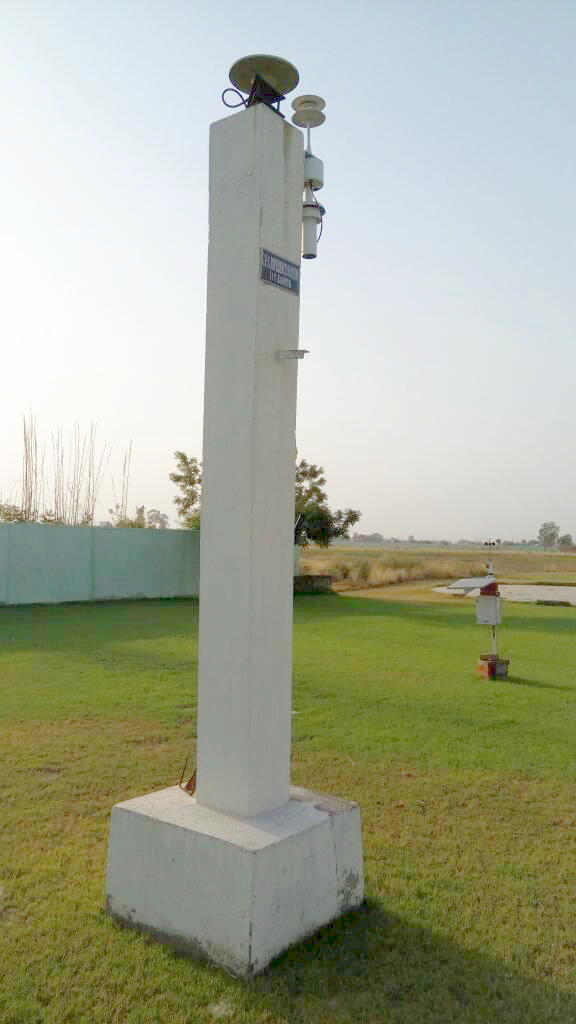
IGS Station


Featured Facilities


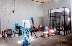
  • Pseudo Dynamic testing facility

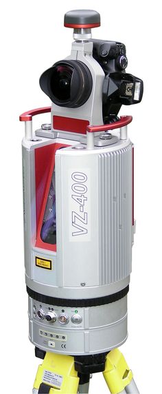
  • RIEGL Scanner

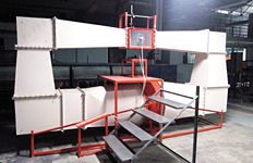
  • Particle drag coefficient

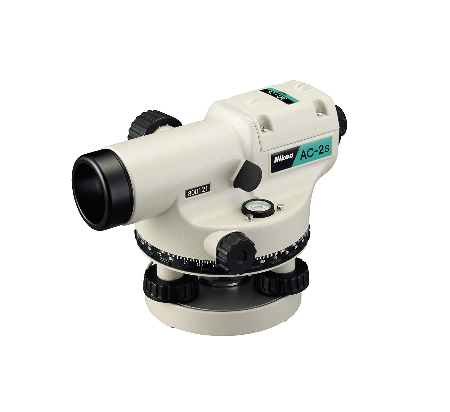
  • Auto Level Nikon AC-2S

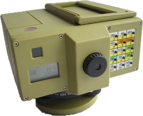
  • Digital Level Leica NA2002

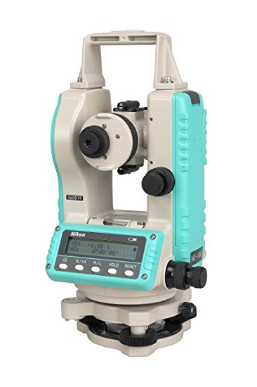
  • Digital Theodolite Nikon 203S

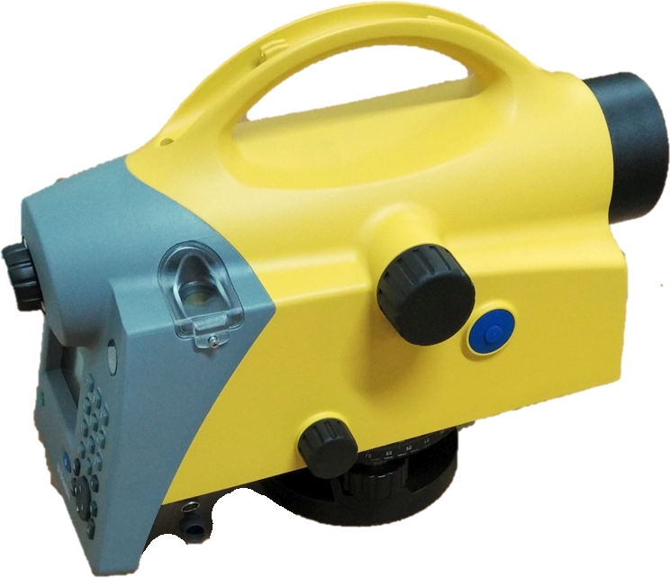
  • Dini Level

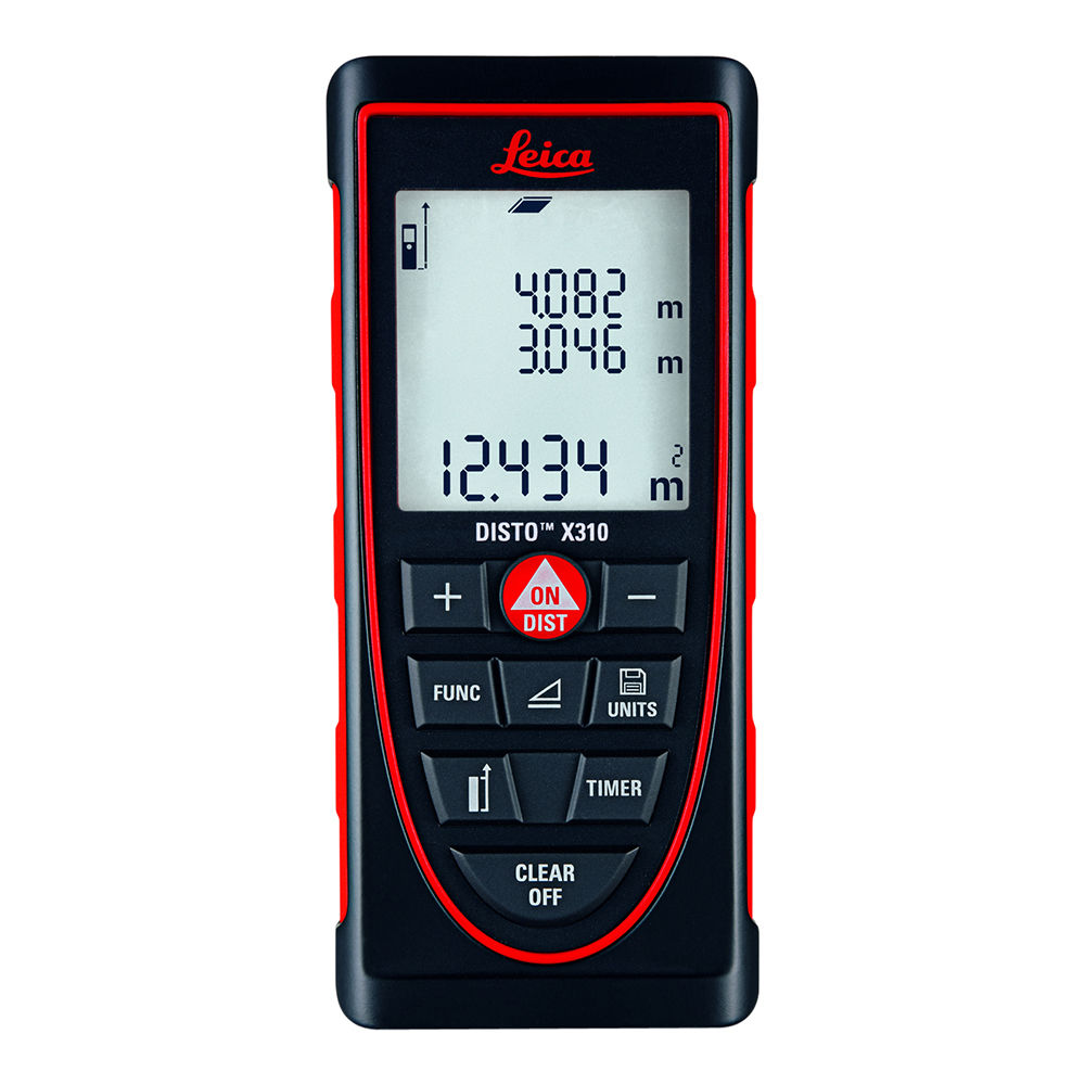
  • Laser Distance Meter Leica

  • M3

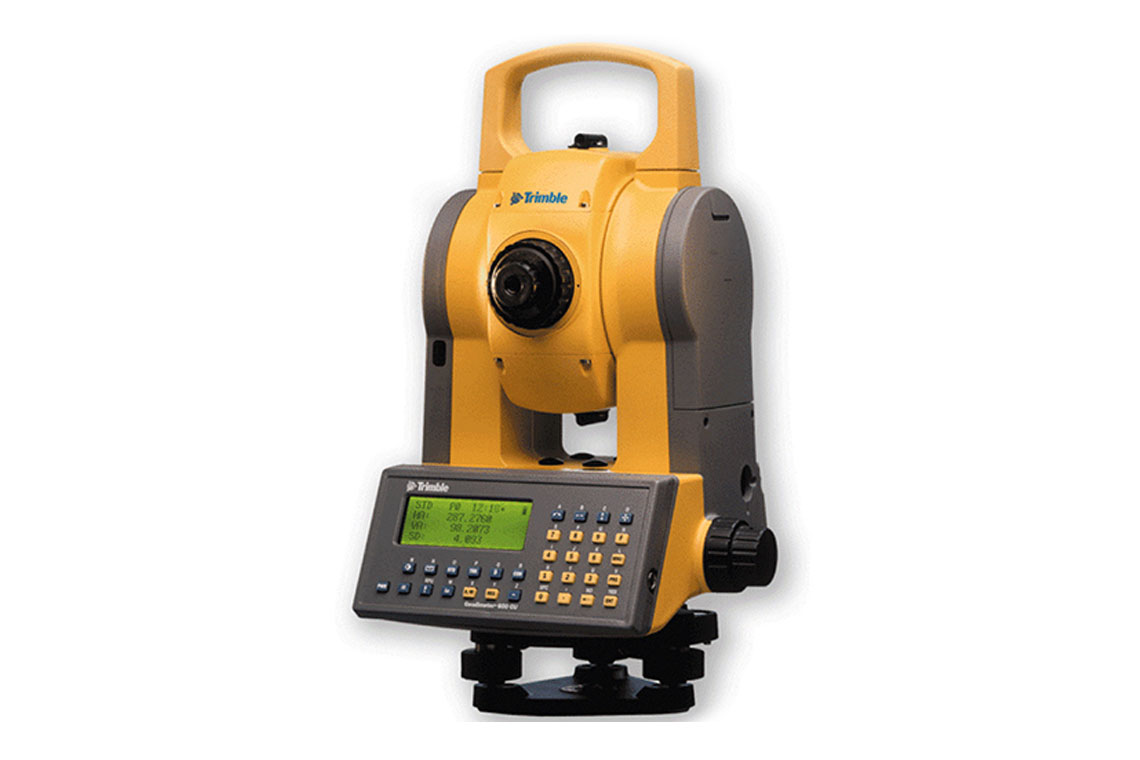
  • Trimble 3600 Series TS

  • Trimble Robotic TS 5600 Series DR200

  • Trimble S8 Total Station

  • Trimble RS7

  • Trimble S5

  • Megellan Sportrak Map GPS

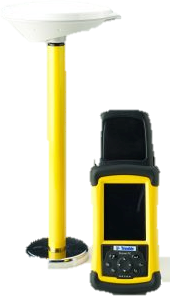
  • Trimble Juno 3B GNSS Receiver

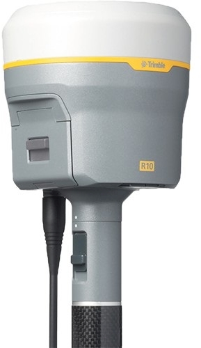
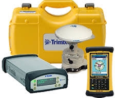
  • Trimble R10 GNSS Receiver System

  • Trimble R3 GPS Receiver System

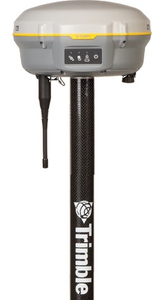
  • Trimble R4 GNSS Receiver System

  • Trimble R8 LT Receiver System

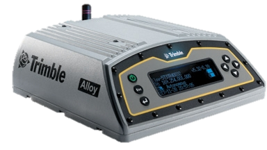
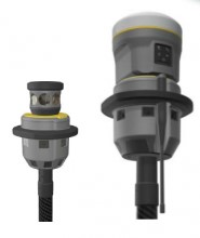
  • Trimble Alloy GNSS Receiver

  • Vaisala PTU300 Meteorological Sensor

  • Trimble Choke Ring Antenna

  • Trimble Zephyr GNSS Geodetic Antennas

  • Trimble CORS (IIT Kanpur)

  • Trimble NetR9GNSS Bundle

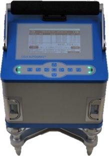
  • Autograv CG-6

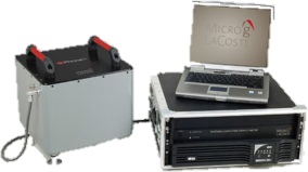
  • gPhone Mg LaCoste

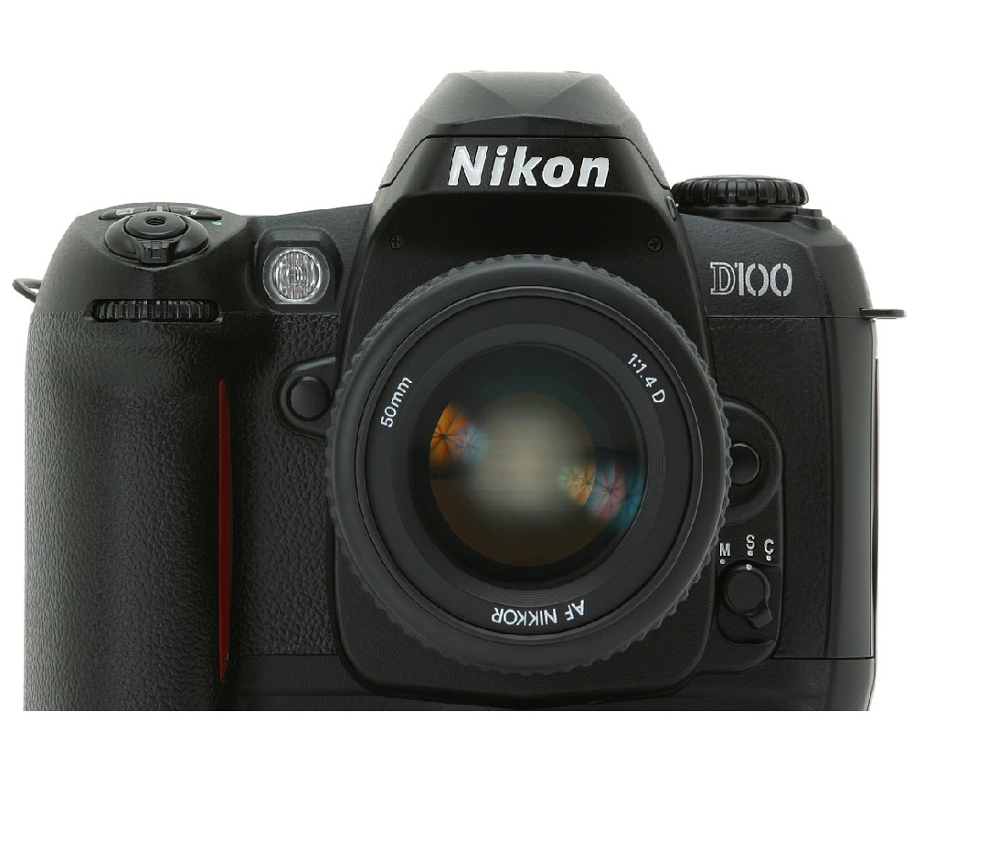
  • D100 Nikon Camera

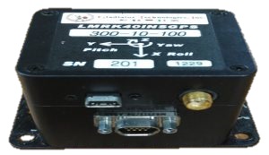
  • GPS/INS

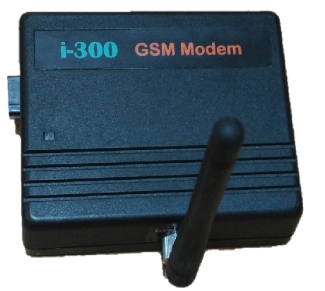
  • I300 gsm modem

  • Kinect 360 sensor

  • Laser Distance Meter Leica

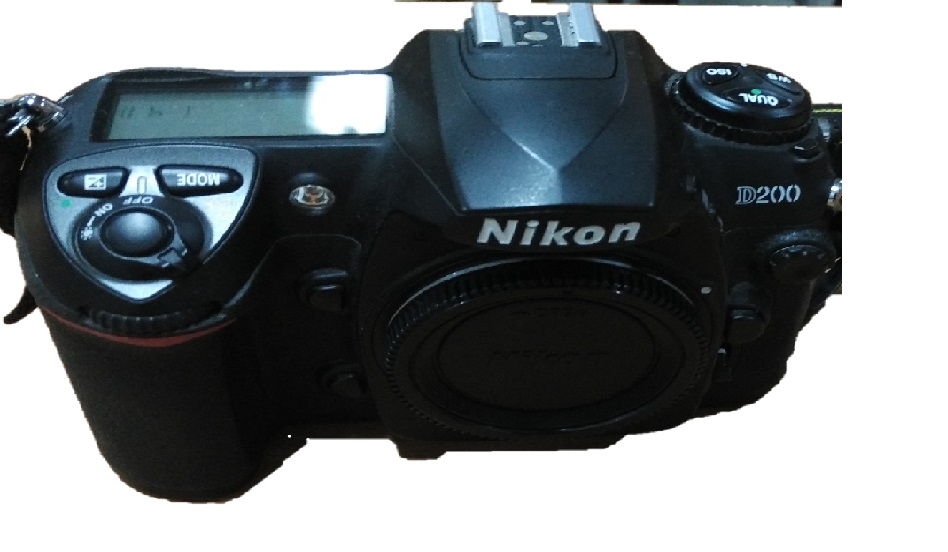
  • Nikon D200

  • Terrestrial Laser Scanner RIEGL

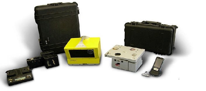
  • Terrestrial Laser Scanner Optech ILRIS 3D

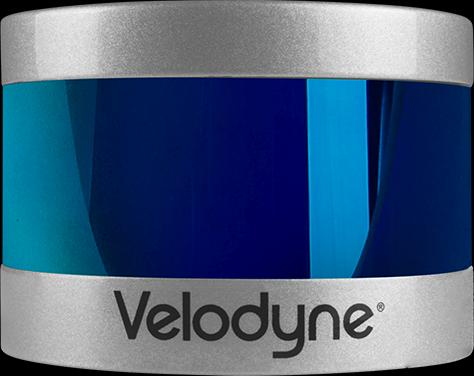
  • Velodyne Puck LIDAR Sensor

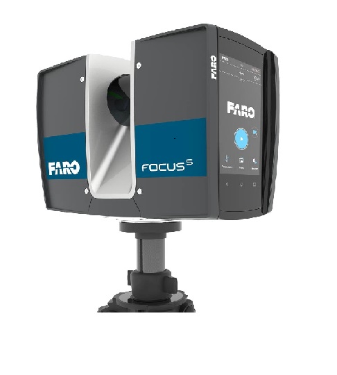
  • FARO FocusS LIDAR Sensor

  • Trimble V10 Imaging Rover

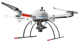
  • Microdrones

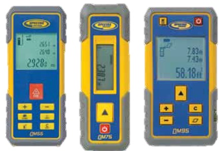
  • Spectra Precision QM Laser Distance Meters


Research collaborations

Featured Research

  1. International Collaborations
    1. Joint Degree Programs
      • MoU with Curtin University
      • MoU with NCTU, Taiwan
    2. Other Student Exchange Programs
      • Office of International Relations
  2. National Collaboration


Empirical comparison between stochastic and deterministic modifiers over the French Auvergne geoid computation test-bed


R. Goyal, J. Ågren, W.E. Featherstone, L.E. Sjöberg, O. Dikshit, N. Balasubramanian

+ - Read Abstract Click to collapse

Abstract:

Since 2006, several different groups have computed geoid and/or quasigeoid (quasi/geoid) models for the Auvergne test area in central France using various approaches. In this contribution, we compute and compare quasigeoid models for Auvergne using Curtin University of Technology’s and the Swedish Royal Institute of Technology’s approaches. These approaches differ in many ways, such as their treatment of the input data, choice of type of spherical harmonic model (combined or satellite-only), form and sequence of correction terms applied, and different modified Stokes’s kernels (deterministic or stochastic). We have also compared our results with most of the previously reported studies over Auvergne in order to seek any improvements with respect to time [exceptions are when different subsets of data have been used]. All studies considered here compare the computed quasigeoid models with the same 75 GPS-levelling heights over Auvergne. The standard deviation for almost all of the computations (without any fitting) is of the order of 30–40 mm, so there is not yet any clear indication whether any approach is necessarily better than any other nor improving over time. We also recommend more standardisation on the presentation of quasi/geoid comparisons with GPS-levelling data so that results from different approaches over the same areas can be compared more objectively.

Read more...


National Centre of Geodesy

Indian Institute of Technology Kanpur-208016
Email: This email address is being protected from spambots. You need JavaScript enabled to view it.
Phone: +91-512-259-6417
  • Academic Calender
  • Campus Directory
  • Computer Center
  • Printable Brochure
  • Contact
  • Webmail
Sitemap
  • Connect With Us
  • iitk-facebook
  • iitk-facebook
  • iitk-facebook